Facilities
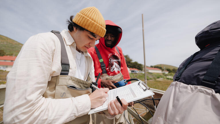
From analyzing air and water quality to mapping wildfire risk and monitoring ecosystems, you'll use professional equipment and software to investigate real-world environmental questions.
Field and Laboratory Instrumentation
- Capillary gas chromatographs with FID
- Gas chromatograph with mass spectrometer and ECD
- Thermal desorber for analysis of air samples
- Discrete analyzer
- Particulate monitors for air analysis
- Microwave digester
- UV-Visible spectrometers
- FT-Infrared spectrometer
- Canopy analyzer
- NC soil analyzer (organic elemental analyzer)
- Flame atomic absorption spectrometer
- HPLCs
- Fluorescence spectrometer
Meters, Data Sondes, and Equipment for Field Measurement of Water Quality Parameters
- Dissolved oxygen
- Alkalinity and hardness
- pH
- Conductivity and salinity
- Nitrate and ammonia
- Redox potential
- Stream flow and many other parameters
Geospatial Analysis Laboratory (GsAL)
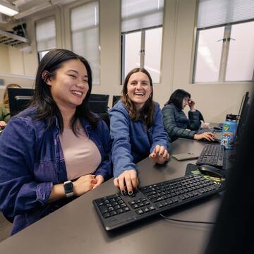
You'll use the Geospatial Analysis Laboratory to investigate environmental challenges through mapping, remote sensing, and ecosystem modeling. The lab provides hands-on experience with Geographic Information Systems (GIS), Global Positioning Systems (GPS), and other geospatial technologies used by environmental scientists, researchers, and resource managers.
Students have used GsAL to study questions such as which California communities face the greatest wildfire risk, how forests contribute to carbon storage, and how landscapes change over time. With access to industry-standard software and dedicated computer facilities, students develop the technical skills to analyze environmental data and communicate scientific findings.