Transit Options
USF is centrally located in San Francisco with various public transportation options. The subway system, Bay Area Rapid Transit (or BART for short) covers most of the Bay Area, providing quick access to the East Bay, the Peninsula, the airport, and other important destinations.
The closest BART stop to USF is Civic Center. The MUNI routes closest to USF include the #5 Fulton, #38 Geary, #31 Balboa, and #43 Masonic. Specific directions around San Francisco and the Bay Area using public transit are easy to find, using tools like Google Maps and 511 SF Bay.
Directions to USF Via Public Transportation
From the East Bay via BART:
Take any San Francisco-bound train to Powell Street. Exit the station and go to the Muni bus stop at Fifth and Market streets. Take the 5 Fulton or 31 Balboa to USF.
For more info visit: BART (Bay Area Rapid Transit) and MUNI (San Francisco Municipal Railway)
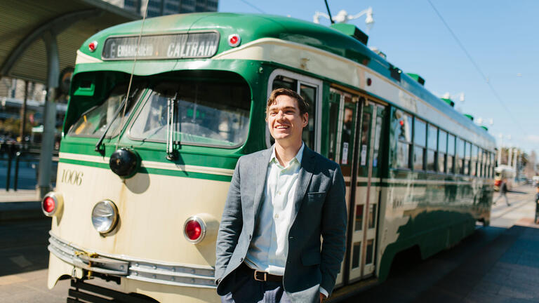
From the Peninsula and South Bay via Caltrain:
Take any San Francisco-bound train and exit at the San Francisco station at 4th and Townsend streets. Go to the Muni bus stop at the southwest corner of 4th and Townsend. Take the 47 Van Ness to Van Ness and McAllister. From the northwest corner of McAllister and Van Ness take the 5 Fulton to USF.
For more info visit: Caltrain and MUNI
From the North Bay on Golden Gate Transit:
Take Route 70 into San Francisco to the corner of Hyde Street and McAllister. From the northwest corner of McAllister Street and Hyde Street, take the 5 Fulton to USF.
For more info visit: Golden Gate Transit and MUNI
Routes are subject to change. For the most up-to-date information, go to the regional public transit information and planning site 511 SF Bay for help in planning your trip.
For airport information, please visit: